The Reality of Weak Riparian Zones
Thursday, July 21st, 2016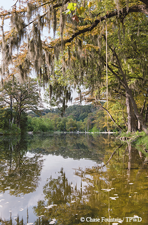
A healthy river and riparian zone.

This is Passport to Texas
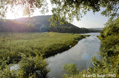
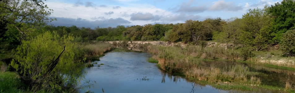
We call the land that flanks rivers and streams a riparian zone. When these areas are intact with native vegetation, they slow the forces of floodwaters, help capture sediment, filter nutrients, and slow runoff from upland sources. Yet, land use practices over the past 150 years have altered their natural state.
Things like mowing, excessive foot or vehicle traffic, or excessive browsing from either livestock or unmanaged wildlife…
Ryan McGillicuddy is a Texas Parks and Wildlife conservation ecologist.
So, water sheds off quicker, it can contribute to higher peak flows for flooding. And really, those areas become less resilient; they recover less quickly from disturbance events like floods.
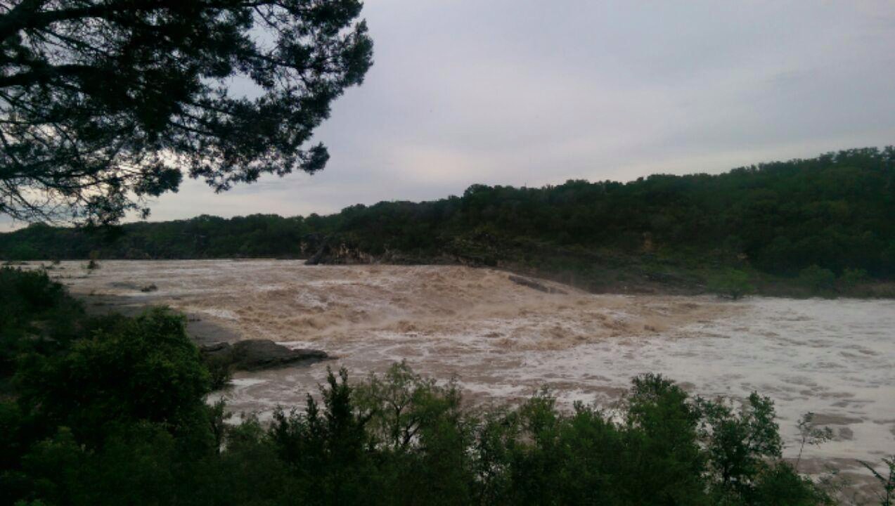
Floodwater, can demolish stream and river banks that lack healthy stands of native vegetation.
What happens when you reduce the vegetation diversity and number of species is you lose some of the root stock that these native trees and grasses provide. These native species have very, very deep root systems that act like rebar holding the soil together. So they’re less resistant to erosional forces. So, we end up seeing less stable stream systems.
Helping the land recover after a devastating flood event. That’s tomorrow.
The Wildlife and Sport Fish Restoration program supports our series.
For Texas Parks and Wildlife, I’m Cecilia Nasti.


 Passport to Texas is a