Technology: Unmanned Aerial Systems
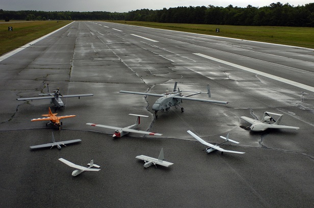
A group photo of aerial demonstrators at the 2005 Naval Unmanned Aerial Vehicle Air Demo held at the Webster Field Annex of Naval Air Station Patuxent River

This is Passport to Texas
Biologists survey and collect data on species and habitat, which they use to manage both. For three years, TPW fisheries and wildlife biologists have used an unmanned aerial system, UAS, to assist with these tasks.
18—This is a low-cost platform that flies a predetermined flight path and collects digital still –red, blue, green (visual imagery) –and near infrared imagery. And then we splice those images together to form high resolution geo reference mosaics that are valuable in habitat mapping and wildlife assessments.
Tim Birdsong is chief of habitat conservation for Inland fisheries. The agency’s used this small aircraft as a science tool to inform conservation ractices on WMAs and in State Parks.
25—We’ve also used these platforms to map stream beds to support river restoration projects. We’ve attempted to use the platform on seagrass habitats on the coast to better understand how some of our education and outreach programs have worked –for example – prop scarring of seagrasses; how do we direct boaters away from some of those sensitive areas. And then also, in mapping nesting bird rookeries.
Before the UAS, Birdsong said some survey areas took extensive man power and a month or more to complete. With the UAS, they can accomplish the same work with fewer people in a single morning.
05—Now we’re working toward the next step of developing automated processing techniques.
More on unmanned aerial systems tomorrow.
For Texas Parks and Wildlife…I’m Cecilia Nasti.

 Passport to Texas is a